|
|
| USA Storm Chasing Expedition - 17 April, 2013 |
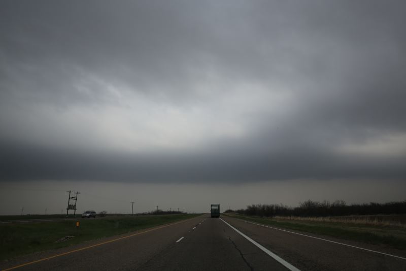
Forecast to be a big day.
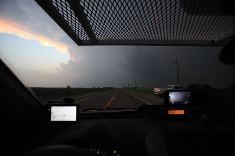
Storms have started at 2:00pm
DOW. (Doppler on wheels)
First storm is growing.
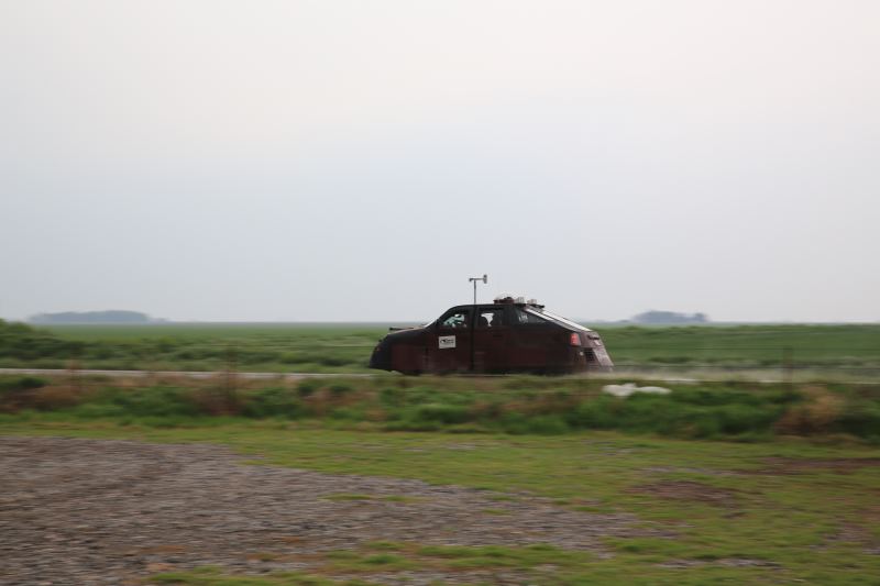
Reed Timmer passing by.
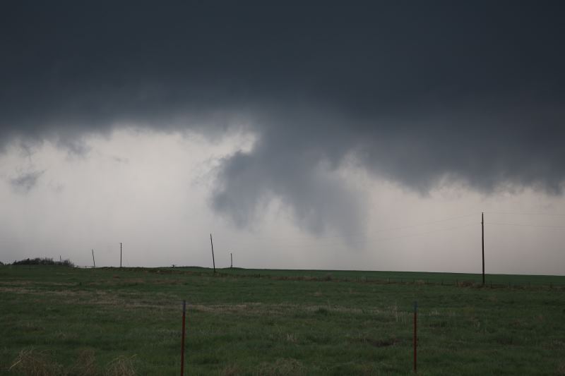
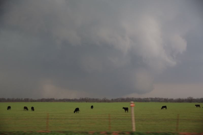
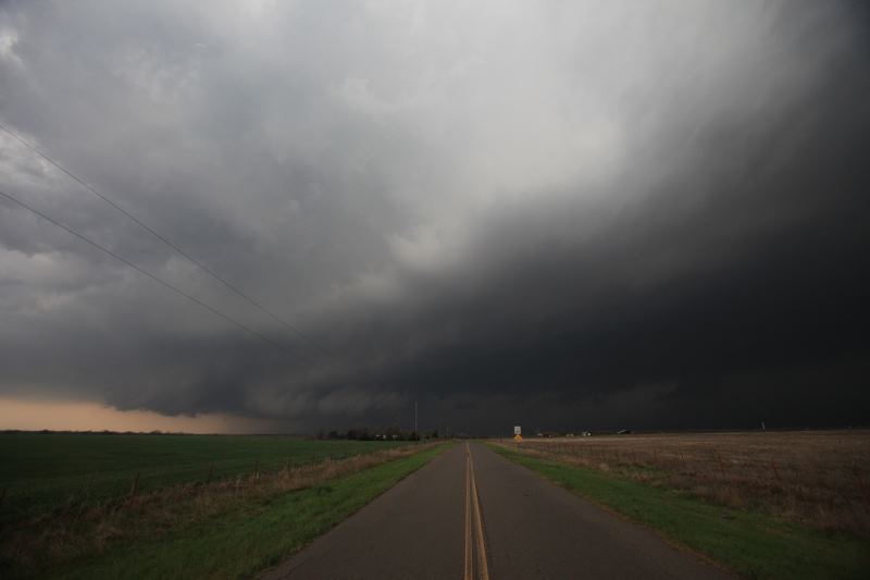
Wall cloud trying to form.
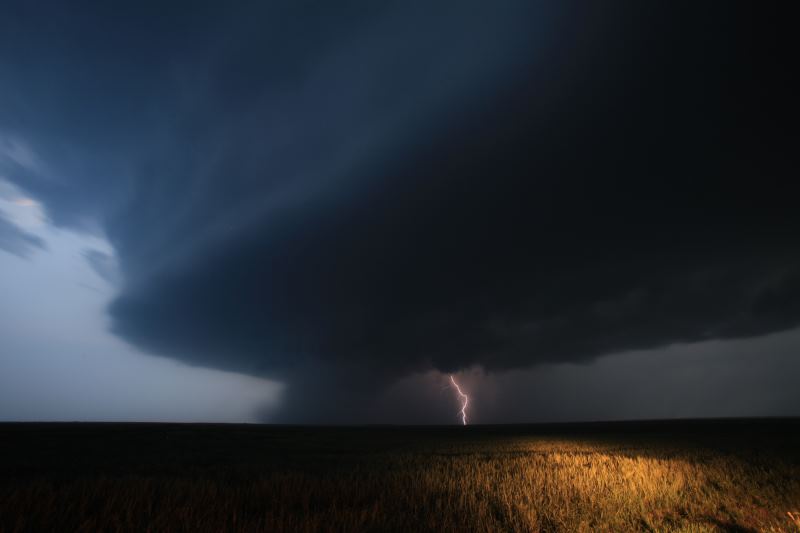
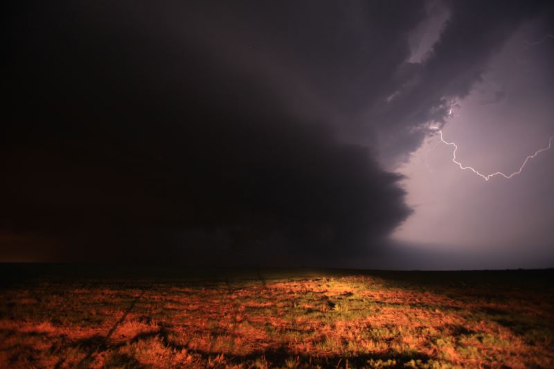
Watching carefully for lightning.
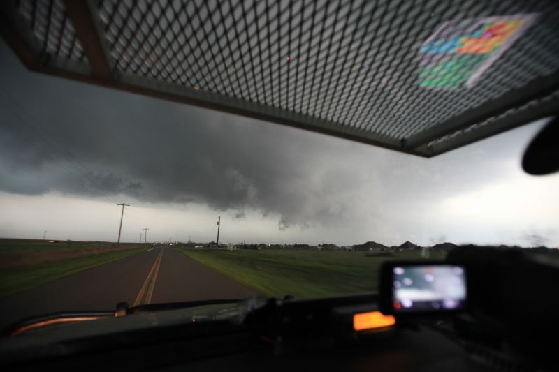
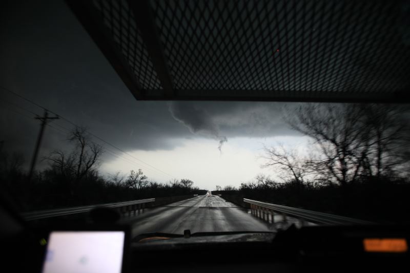
Funnel? No.. not yet.
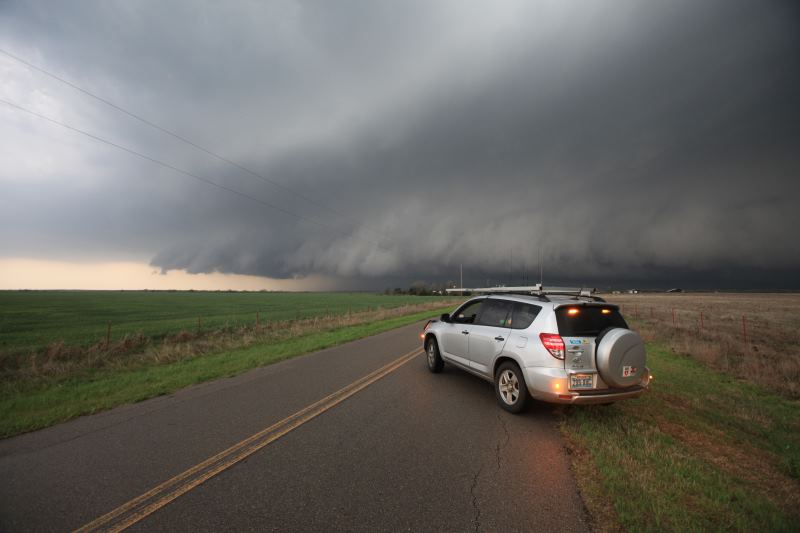
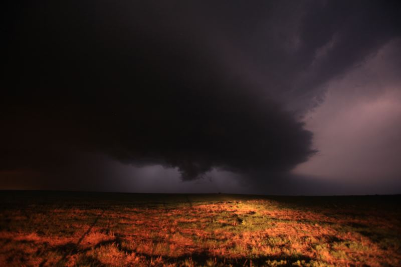
Wall cloud is growing.
Fair amount of rotation.
Thinking a tornado is imminent.
So close.
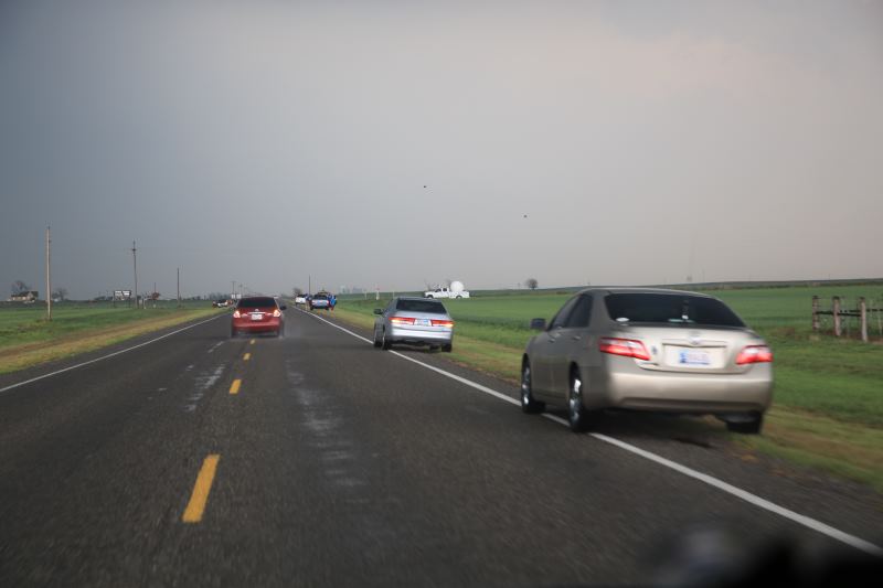
Lots of chasers.
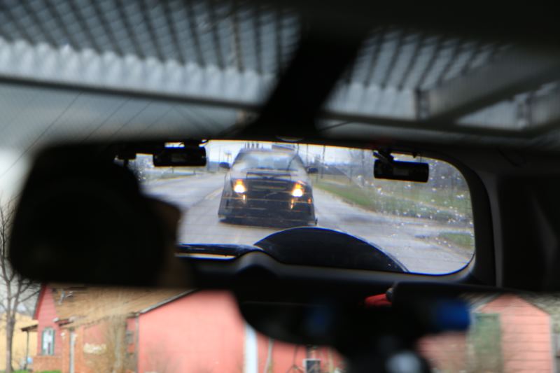
Reed behind me.
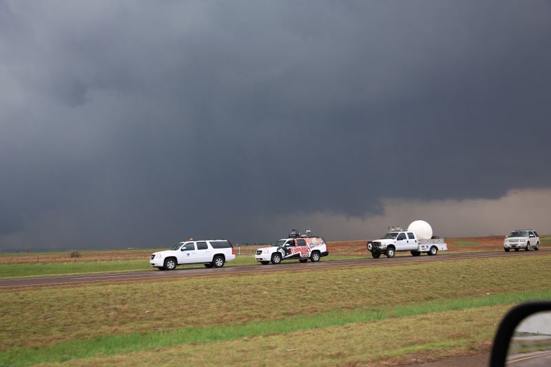
Weather channel's tornado hunt broadcasting from the field.
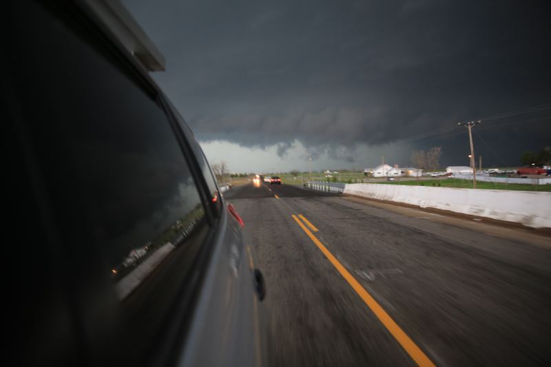
Repositioning into inflow winds.
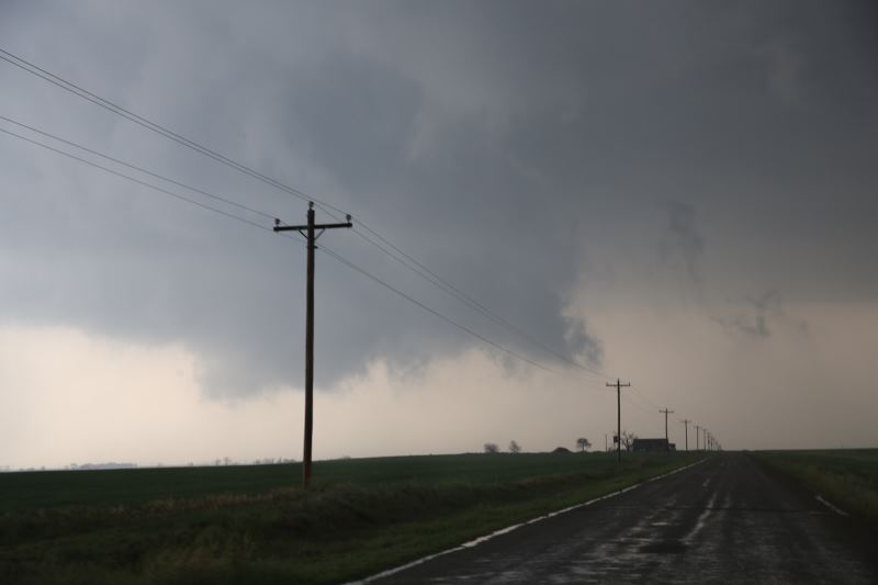
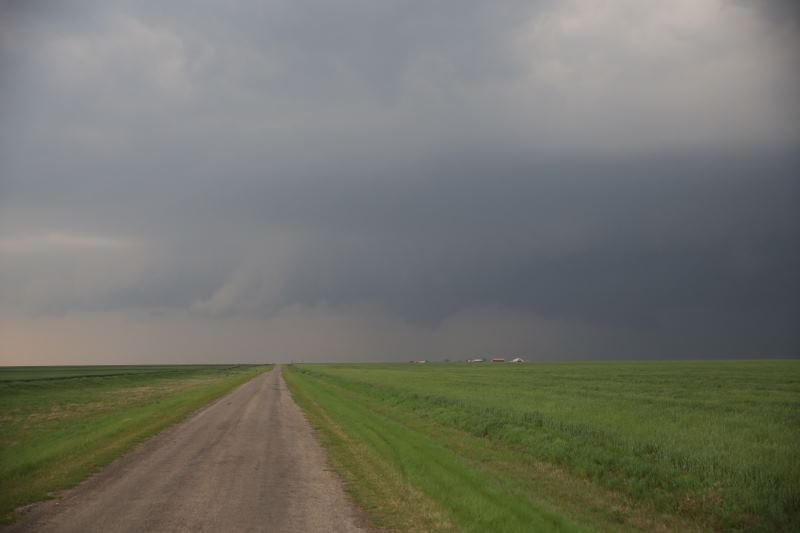
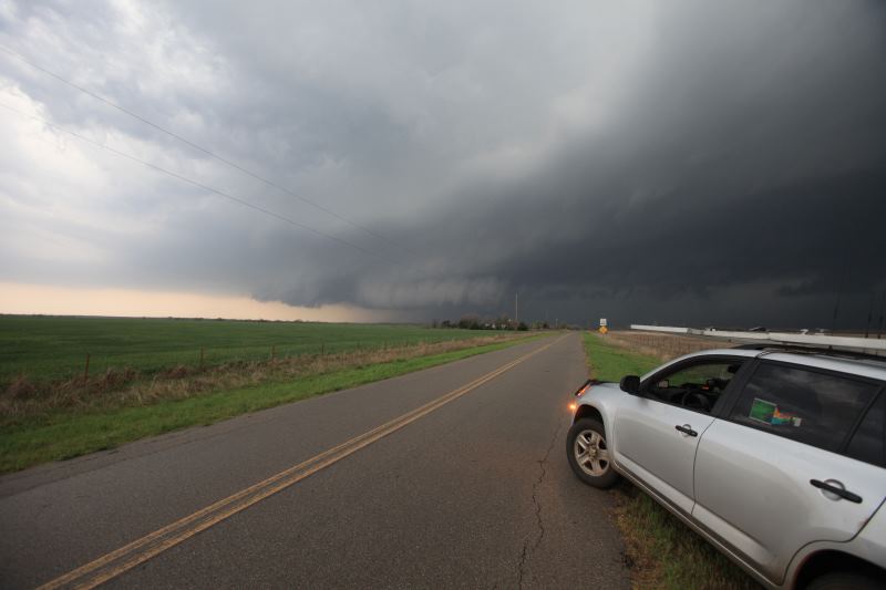
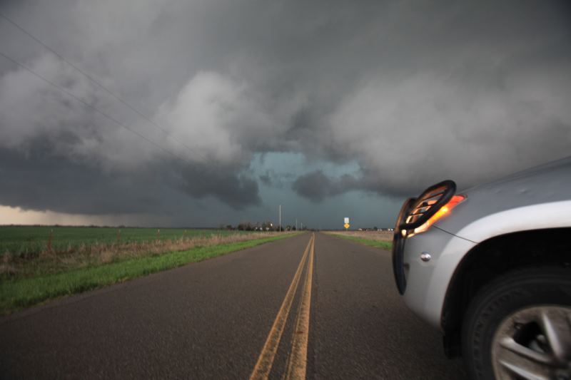
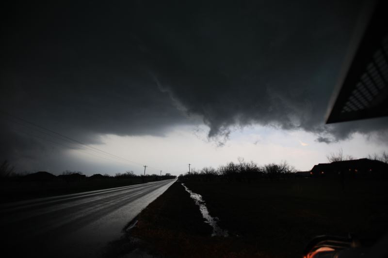
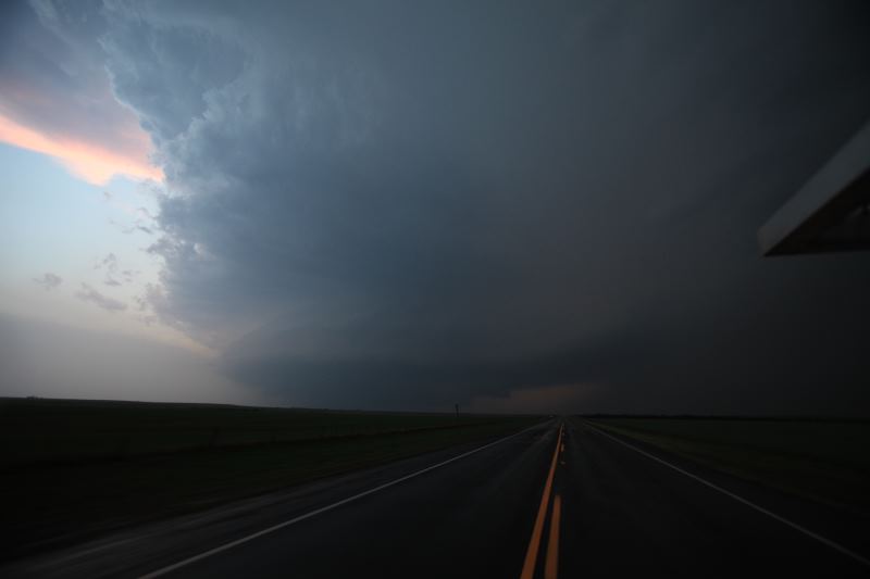
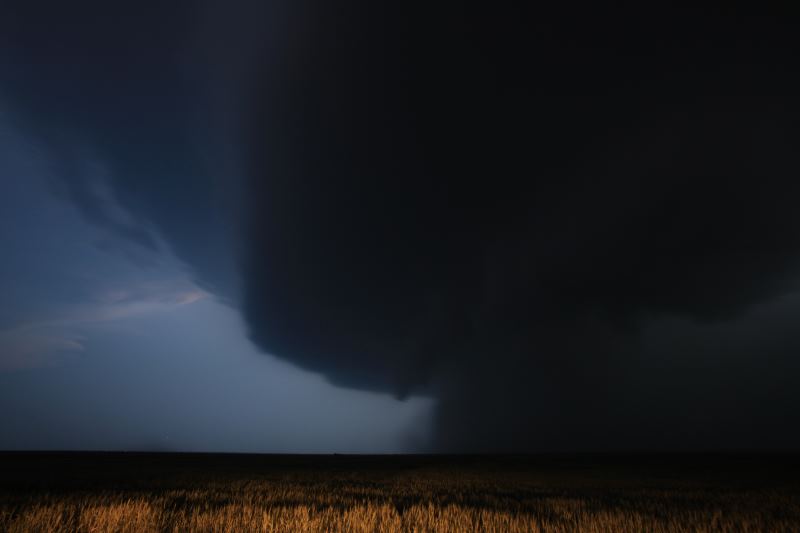
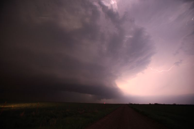
Wall cloud.
Very well formed wall cloud.
This is where the tornado is typically found.
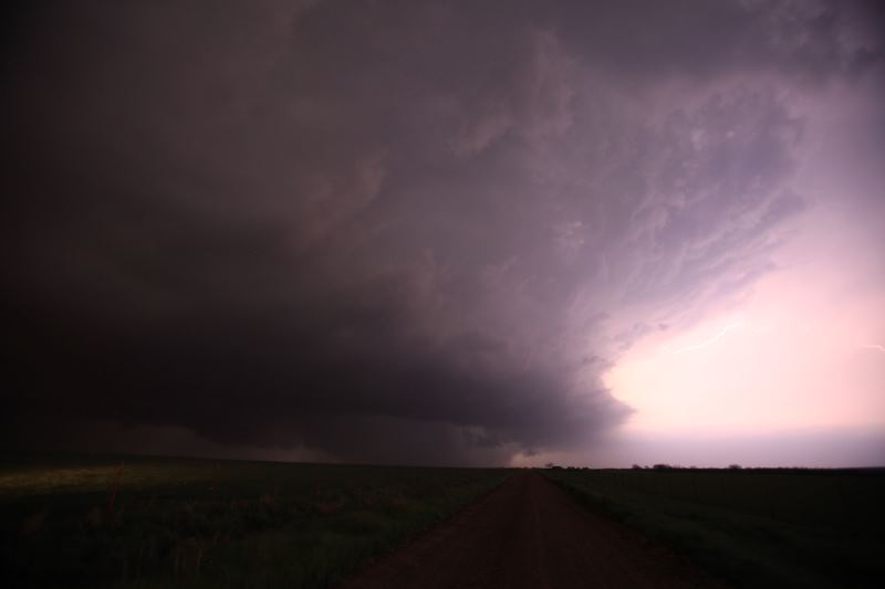
Rain is falling near the updraft, hindering storm development.
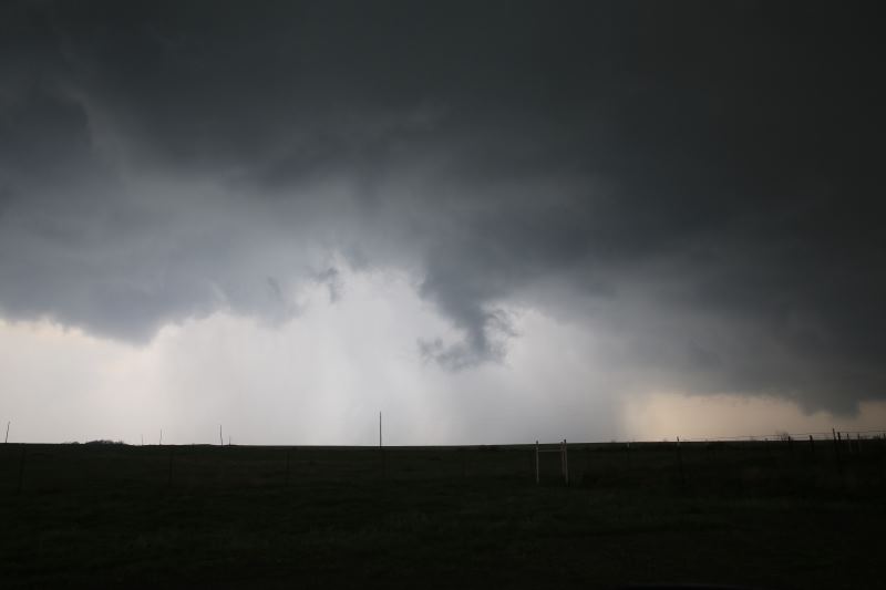
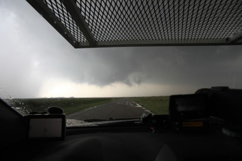
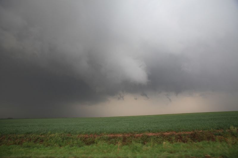
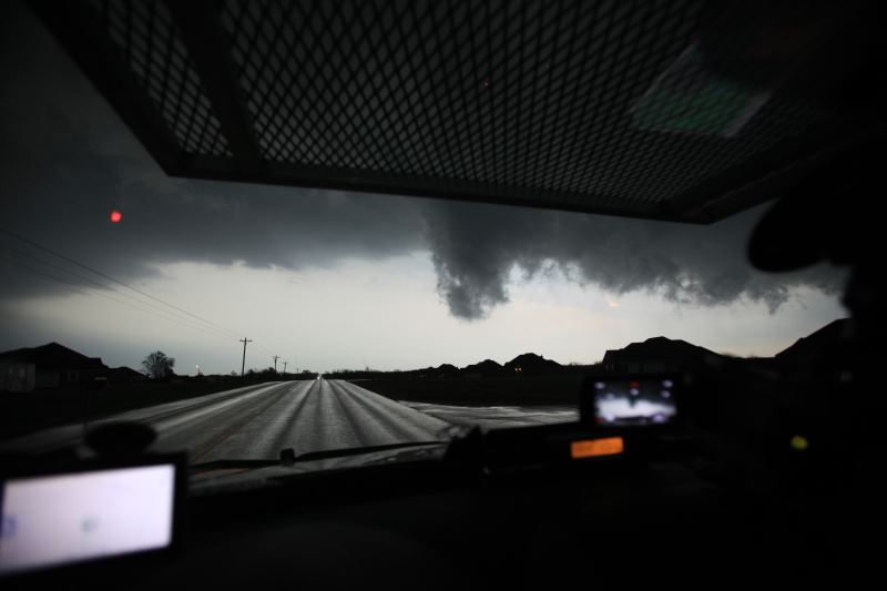
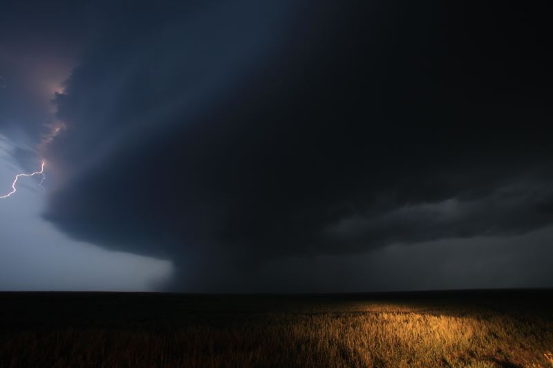
Funnel trying to form.
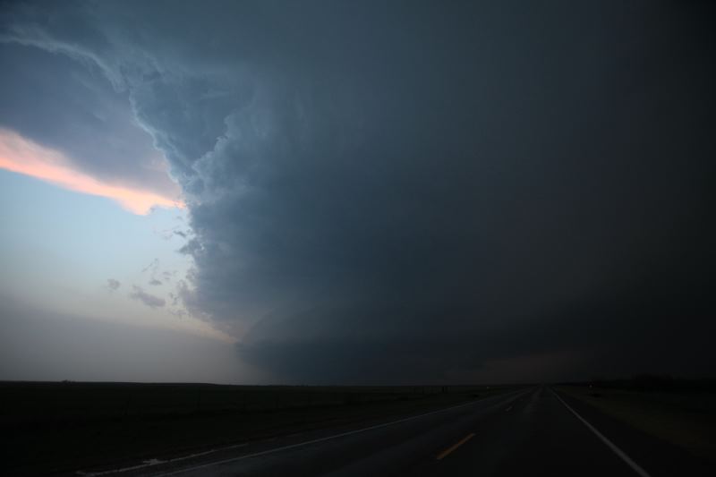
Amazing colours in the storm.
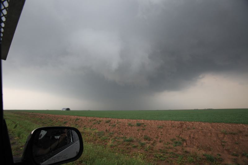
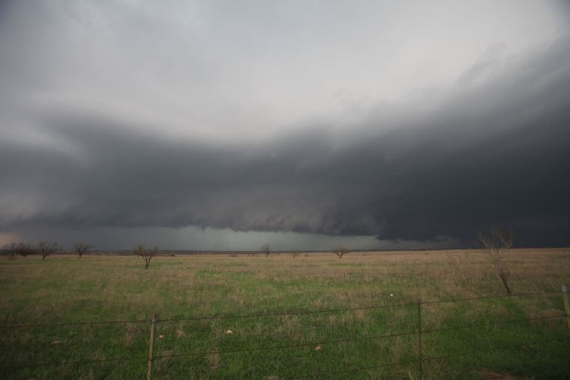
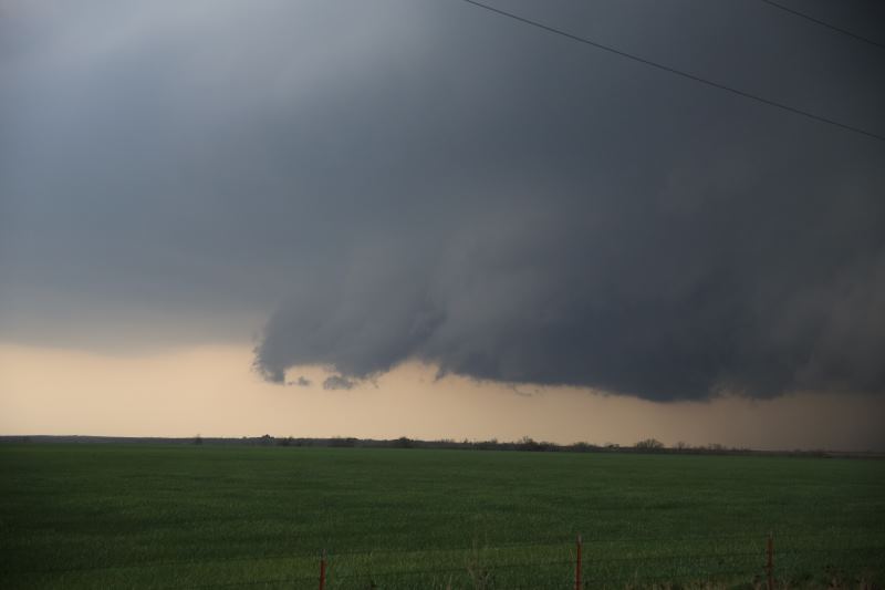
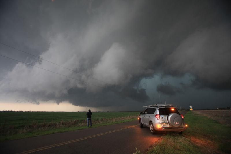
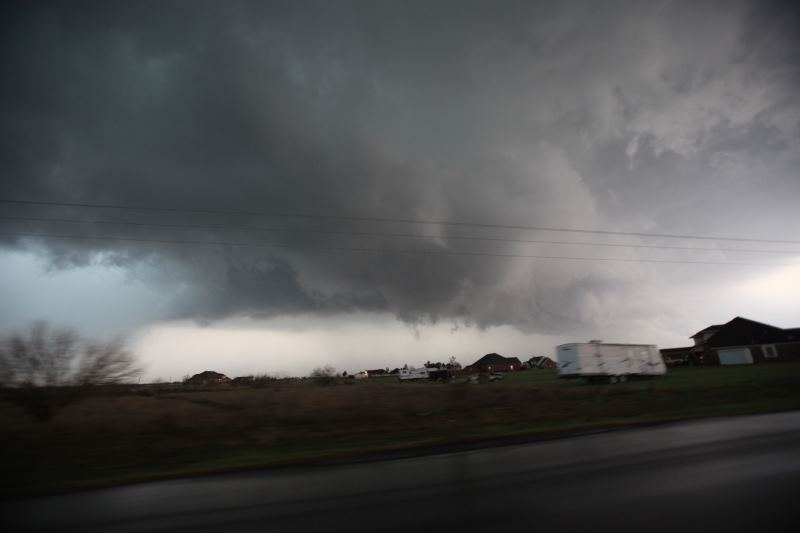
Rugged wall cloud trying to form.
Looking back.
Amazing sight.
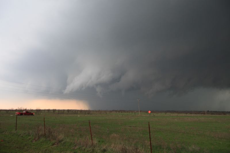
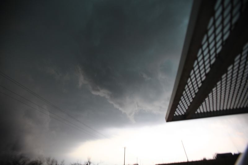
Funnel forming in the rugged wall cloud.
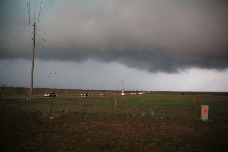
Storm chasers driving down the road.. Lots of them today.
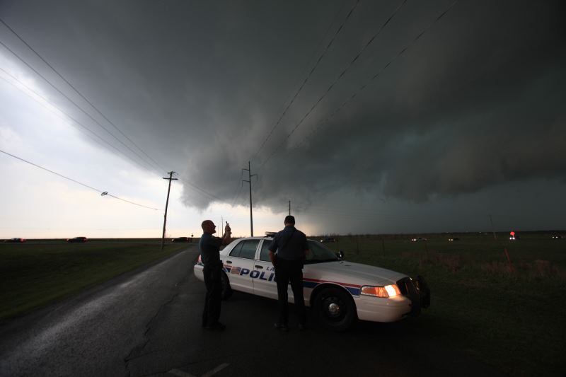
Local police watching storm development.
Time to go....
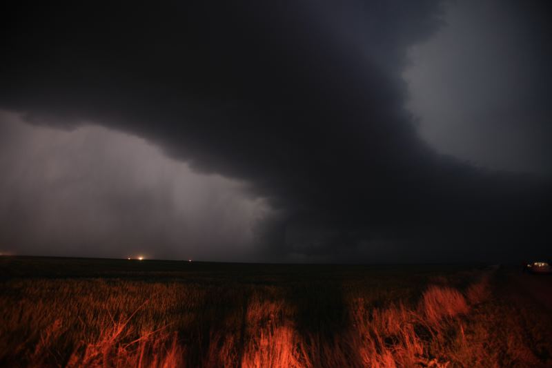
Hail core.
Scary looking view.
Lots of chasers and local traffic. (Mainly locals wanting to see a tornado)
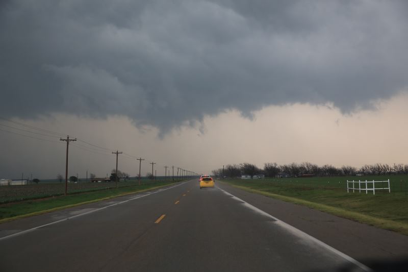
Repositioned to track the storm.
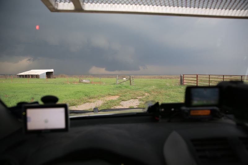
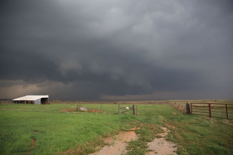
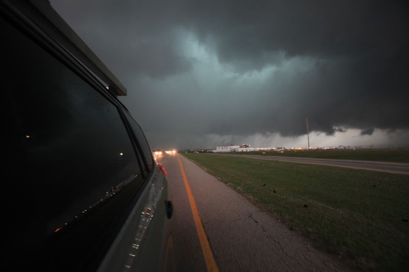
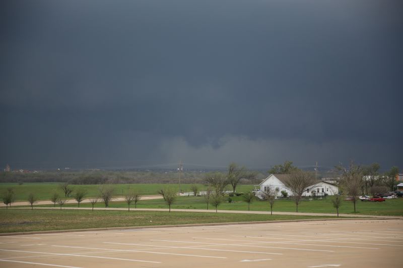
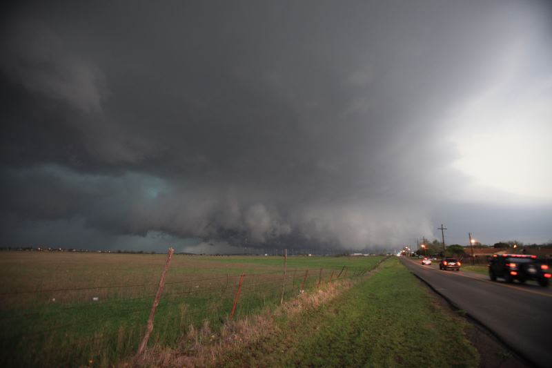
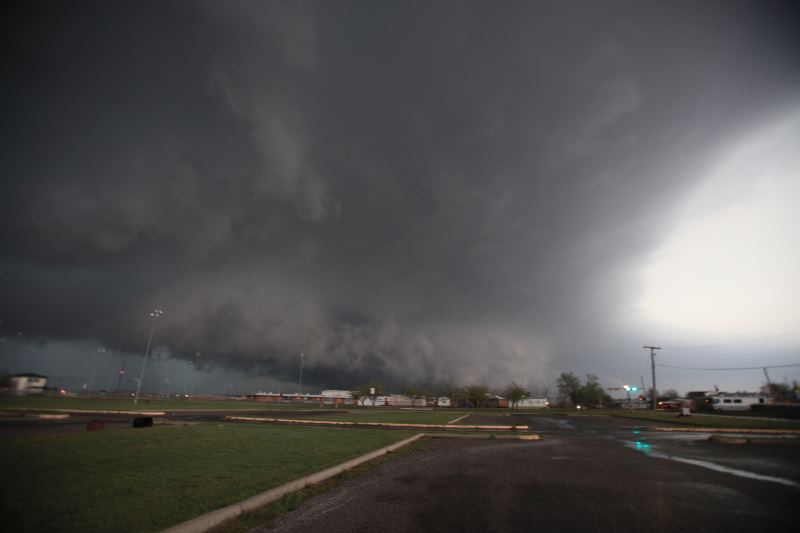
Next storm descending upon Lawton, Oklahoma.
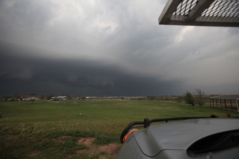
Repositioned to the strongest cell 10 miles away. Massive Anvil.
Another storm passing through the same area.
Storms were passing through the same places over and over again.
Dead end road.. great place to park.
Watching...
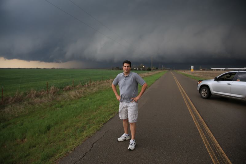
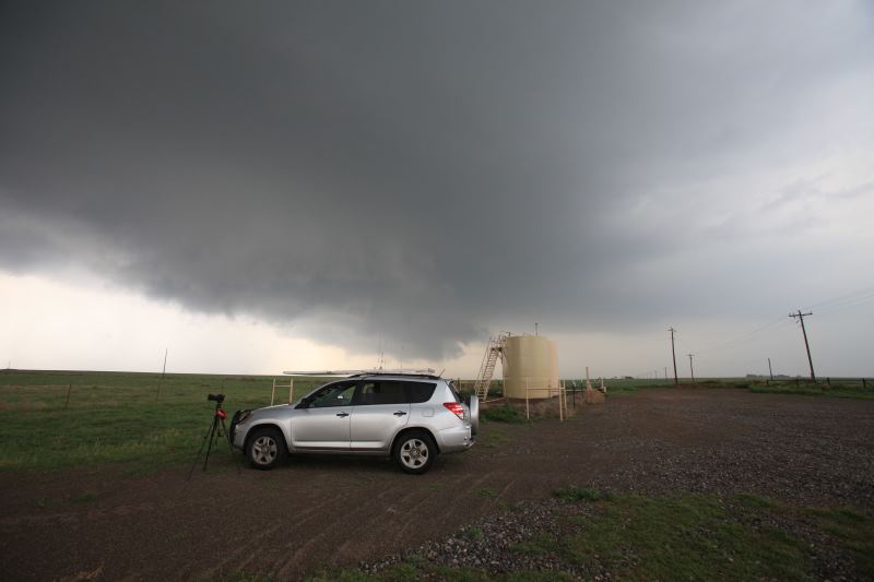
Me..
Watching for wall cloud development.
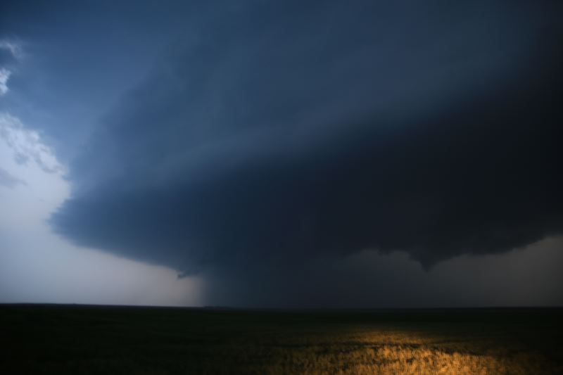
Hail core in there.
Up to 3.5" hail indicated in this storm.
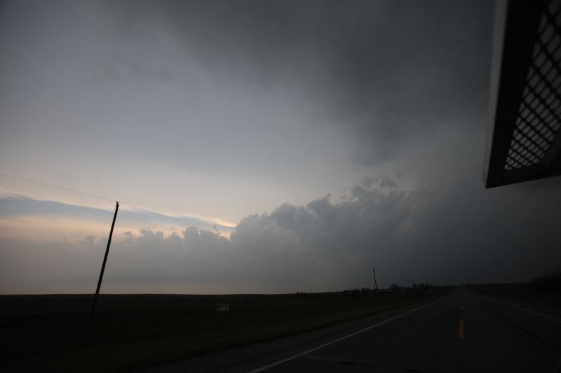
Getting dark..
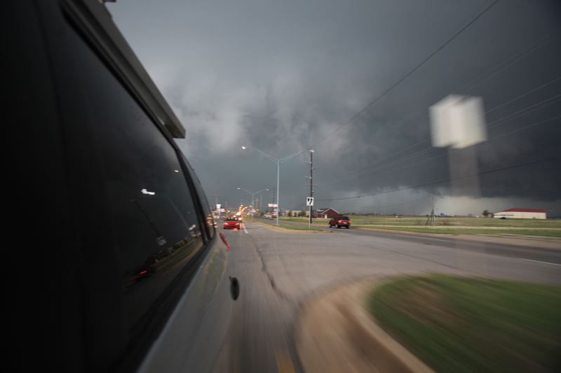
Repositioning.
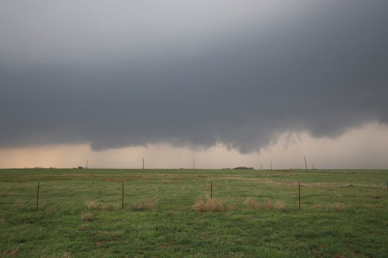
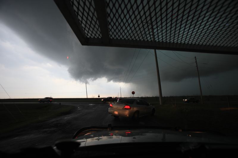
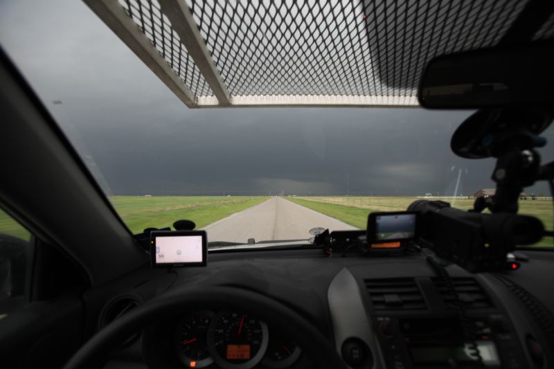
Rotating wall cloud above us.. Not a good place to be.. trying to
get through it.
Storm is a little disorganised at the moment.
Watching for funnels.
So close...
Rotation above us.
Another storm chaser reported a tornado in rain.
Scanning the skies for dangerous features.
Sights like this really do freak out people who are scared of severe weather.
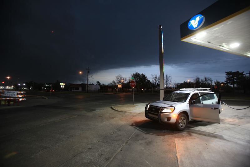
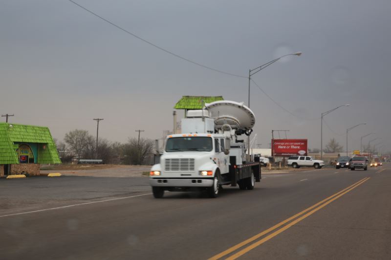
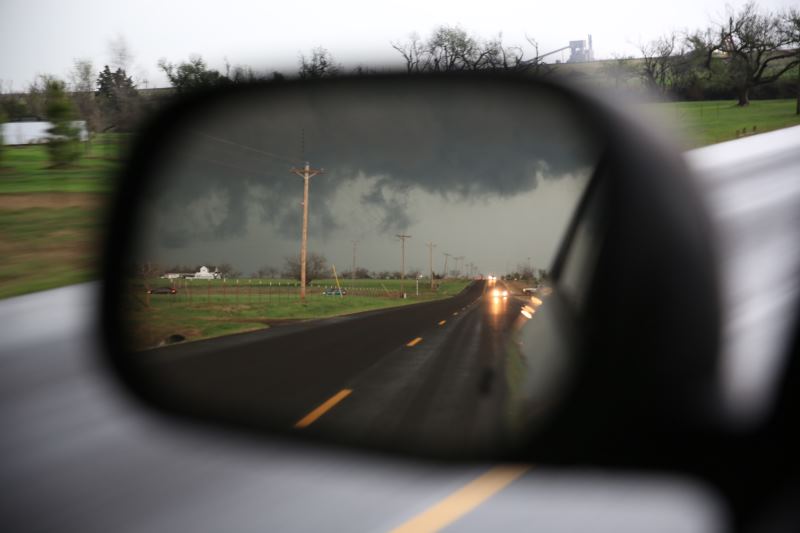
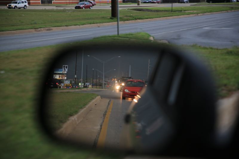
Fuelling up with the tornado sirens blaring.. expecting to lose power.
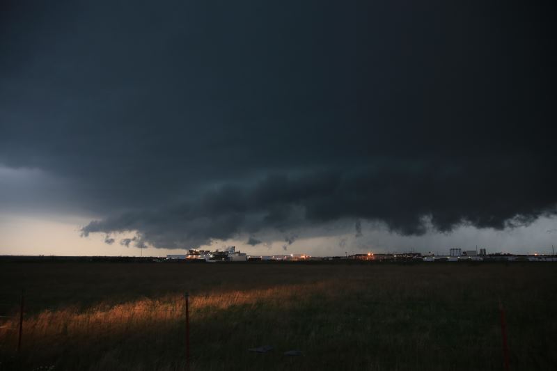
Another storm rolling through.
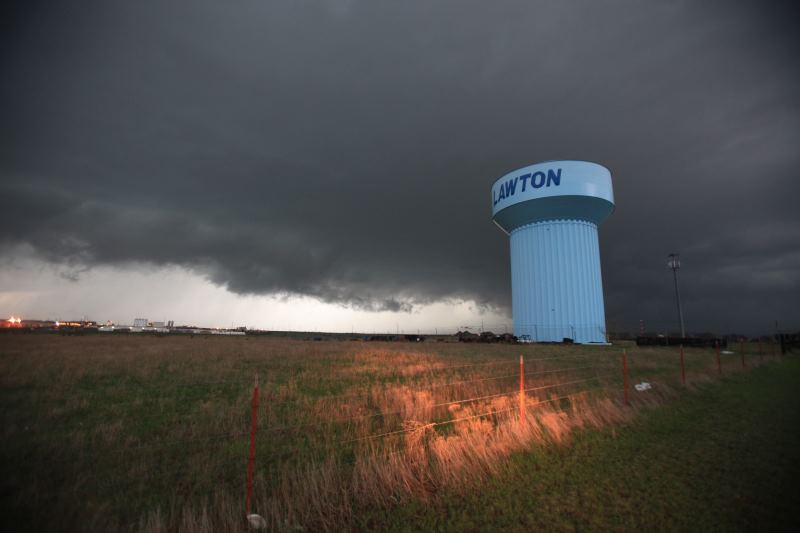
Lawton, OK
Moved 30 miles south west to the strongest storm.
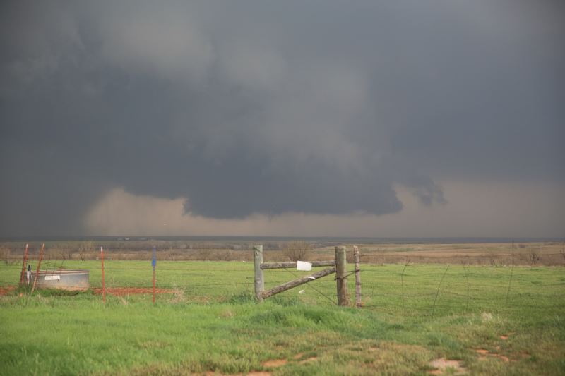
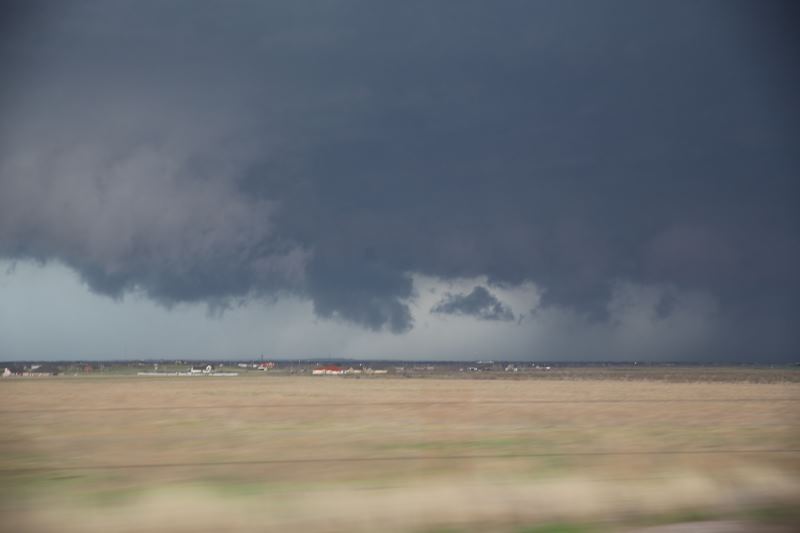
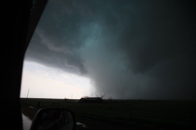
Confirmed tornado was reported in this storm.
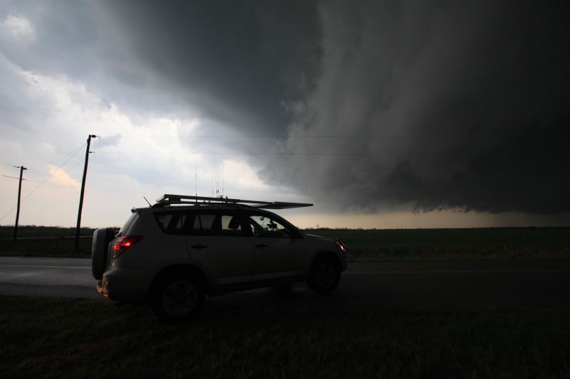
Gigantic supercell.
Imagine seeing this in Sydney, Australia.
People would run for the hills.
Searching for a tornado.
Can't see any tornado.
Still looking.
Need lightning to strike to backlight a funnel/tornado.
hmmmm... Wall cloud possibly forming....
Storm is mainly outflow based now.. Tornado warning about to be lifted
shortly.
Storm continued for a number of hours..
A great video to put you in the driver's seat today...