|
|
| USA Storm Chasing Expedition - 14 June, 2012 |
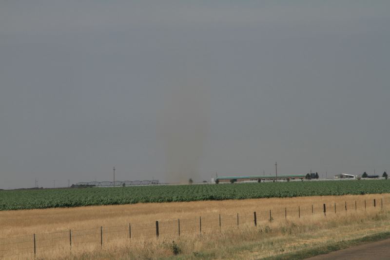
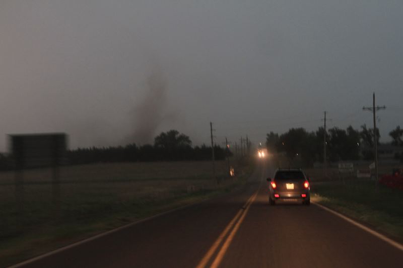
A nice way to start the day, intercepting a dust devil.
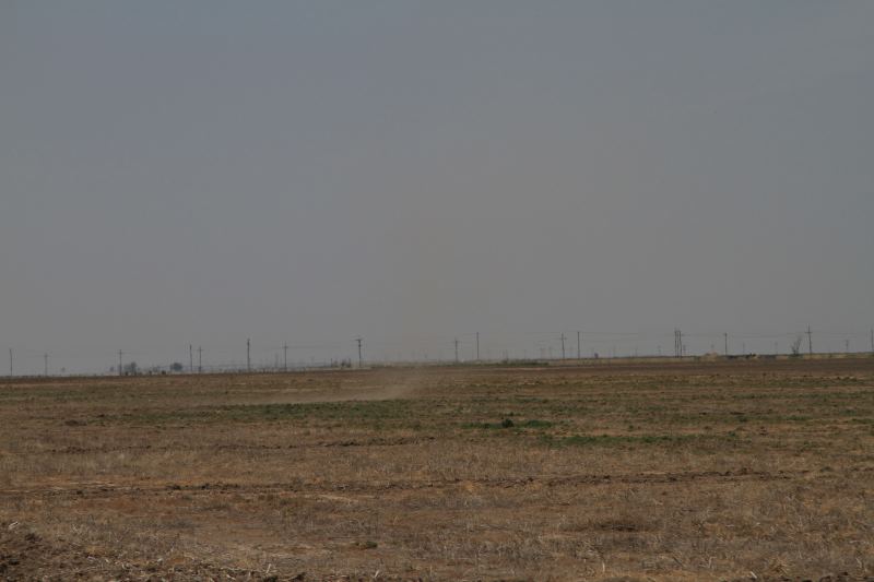
Not very big.
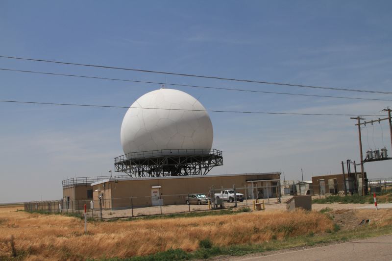
One of the Doppler radar sites.
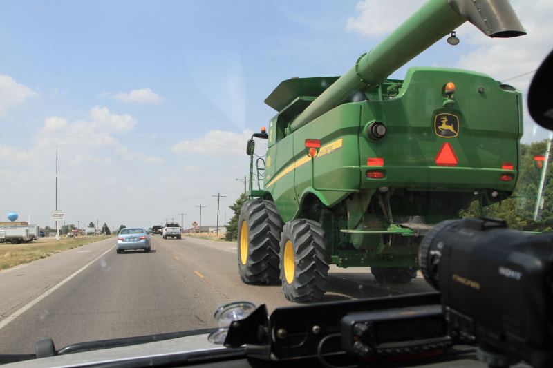
Massive road obstacle.
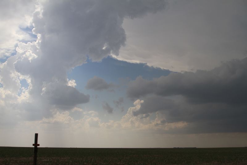
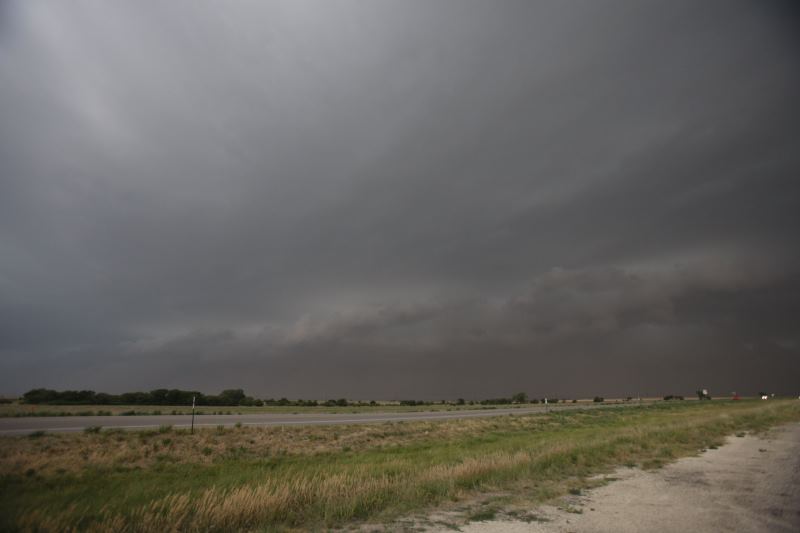
Storms are firing up.
Tricky forecast again.
A dying updraft.
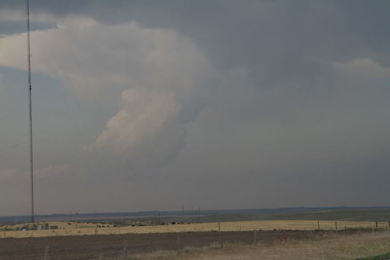
A number of storm cells have fired up across the state.
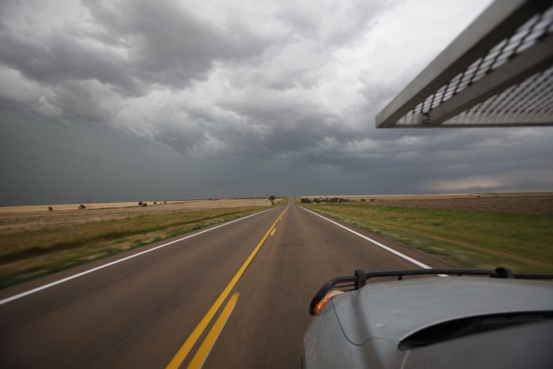
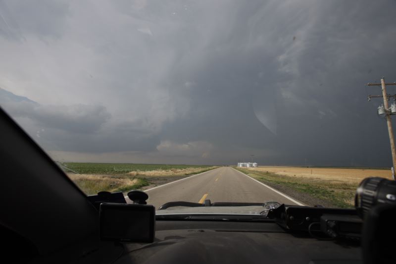
Heading to the leading storm.
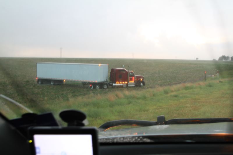
Semi trailer was blown off the road a few minutes earlier, Driver was ok.
Pretty shaken, but very lucky.
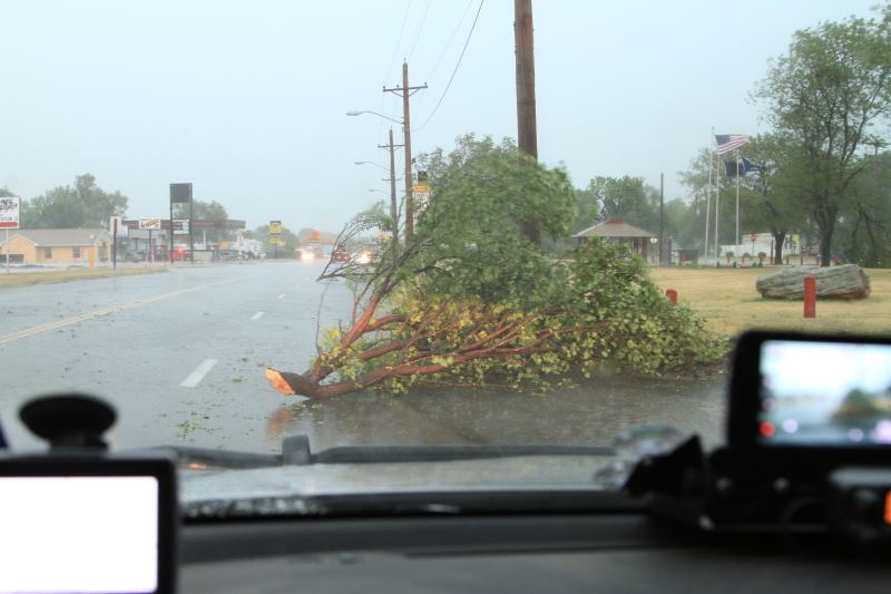
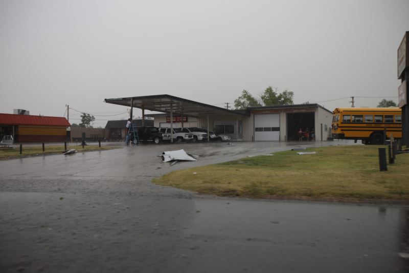
Debris.
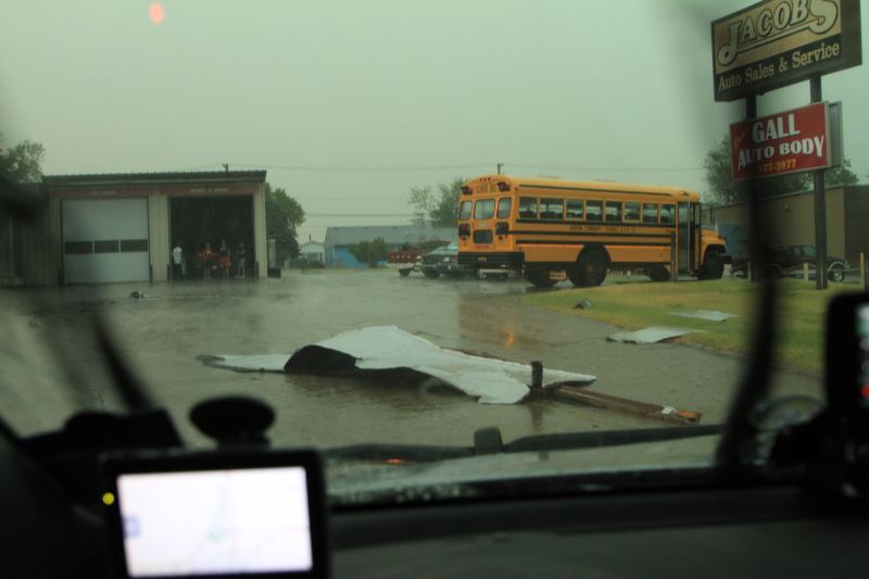
Parts of roofs being blown away.
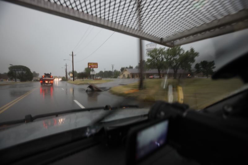
More debris.
Storm moving at 35mph with 65-75mph winds.
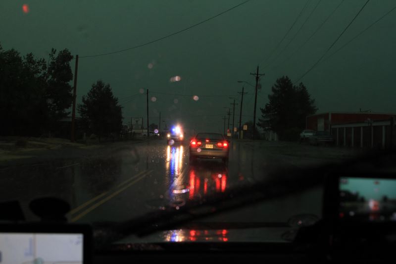
Emergency crews heading to damaged area.
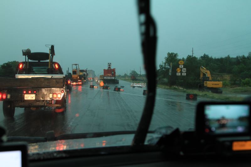
Road construction bollards blown over.
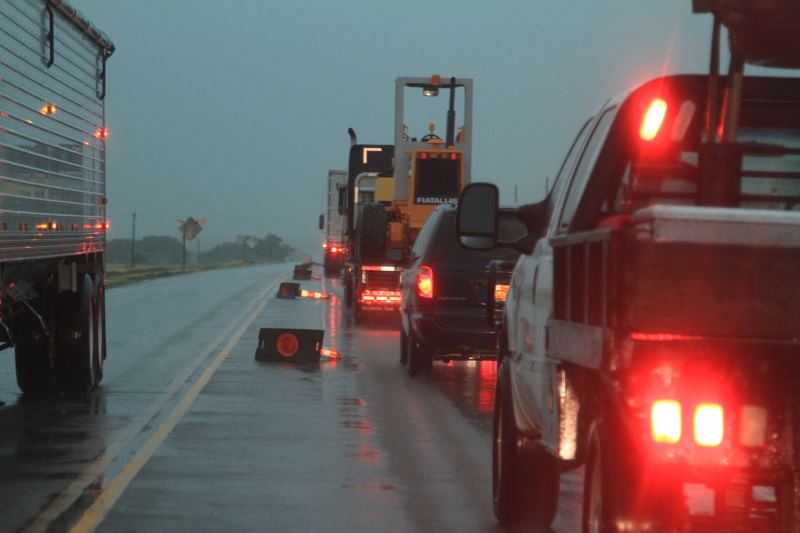
Causing traffic delays.
Sitting in the leading edge getting wind measurements. Measured 48.6mph (not
severe criteria, need at least 58mph)
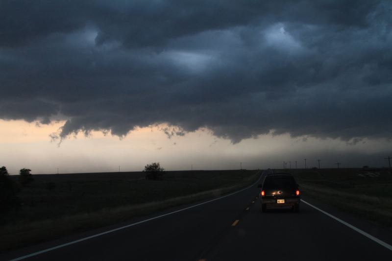
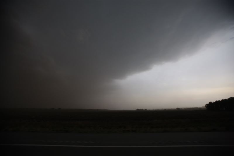
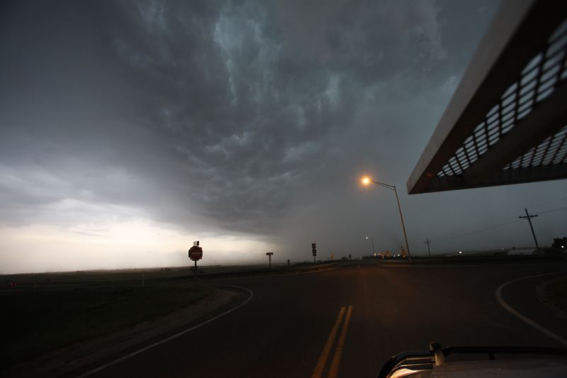
The leading edge of the storm.
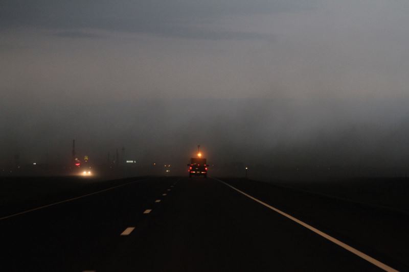
Outflow winds picking up dust.
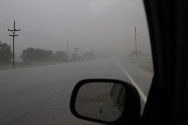
Extremely low visibility, that's what the front safety are for. Got so bad at
one stage, I could barely see the road.
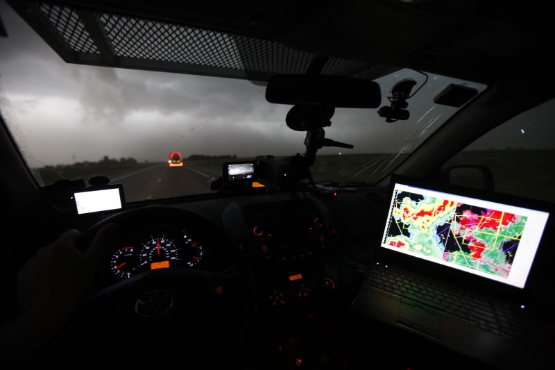
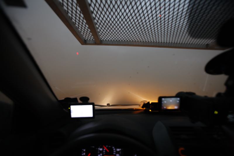
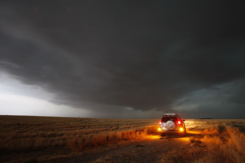
Picking the next storm target.
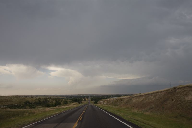
Ahead of the storm front.
Watching a shelf cloud roll on by.
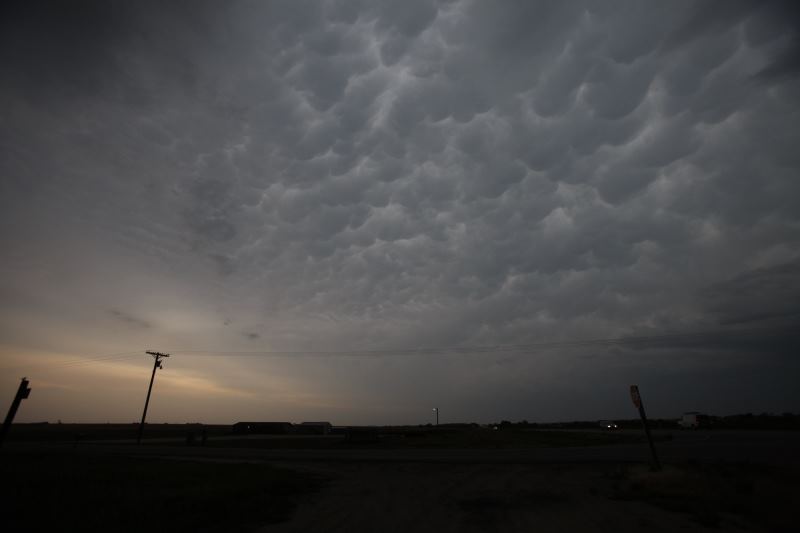
Mammatus cloud.
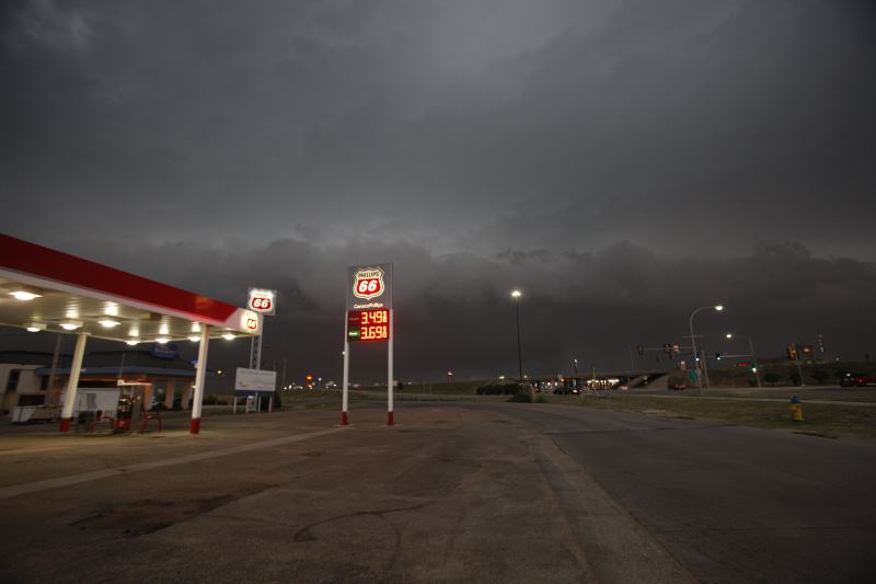
Fueling up.
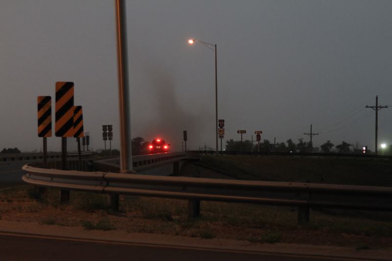
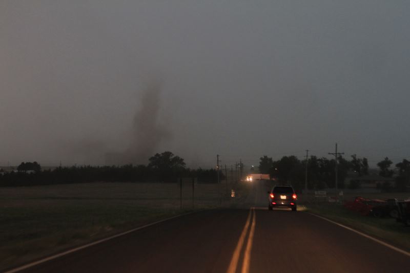
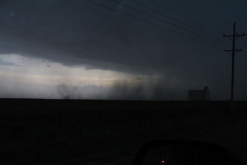
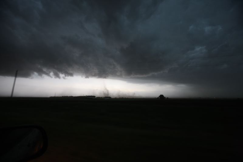
Gustnado (NOT a tornado, but fun to chase)
Only lasted a few minutes. Gustnadoes are "Outflow" features of storms, rather
than "inflow" features
such as landspouts and tornadoes.
Still going after it though.
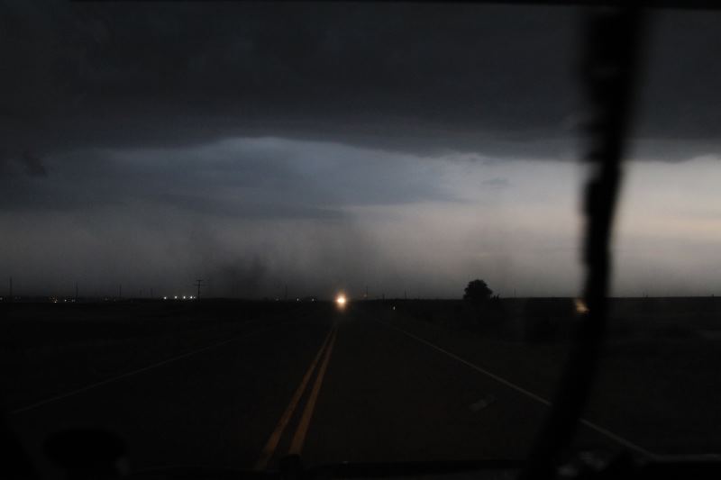
Outflow winds are quite strong.
Storm is still severe warned.
One of the Rotate scientific crews passes by.
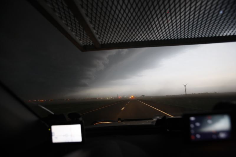
Leading edge of the storm.
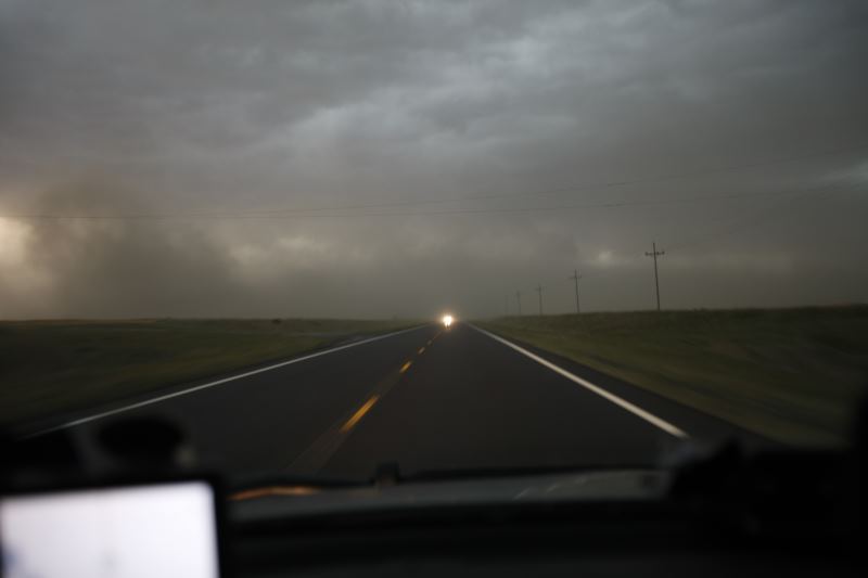
No lightning to photograph.