|
|
| USA Storm Chasing Expedition - 30 April, 2012 |
|
|
| USA Storm Chasing Expedition - 30 April, 2012 |
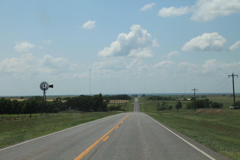
Not certain where exactly to go, multiple states are potential targets.
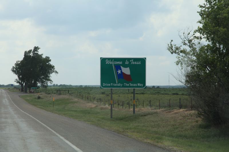
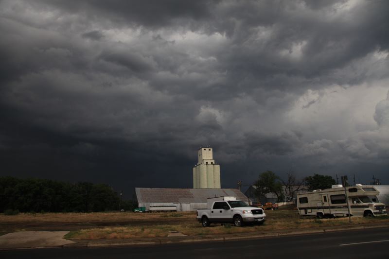
Welcome back to Texas.
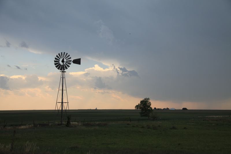
Nothing can beat a windmill photo. (perhaps maybe a tornado photo...)
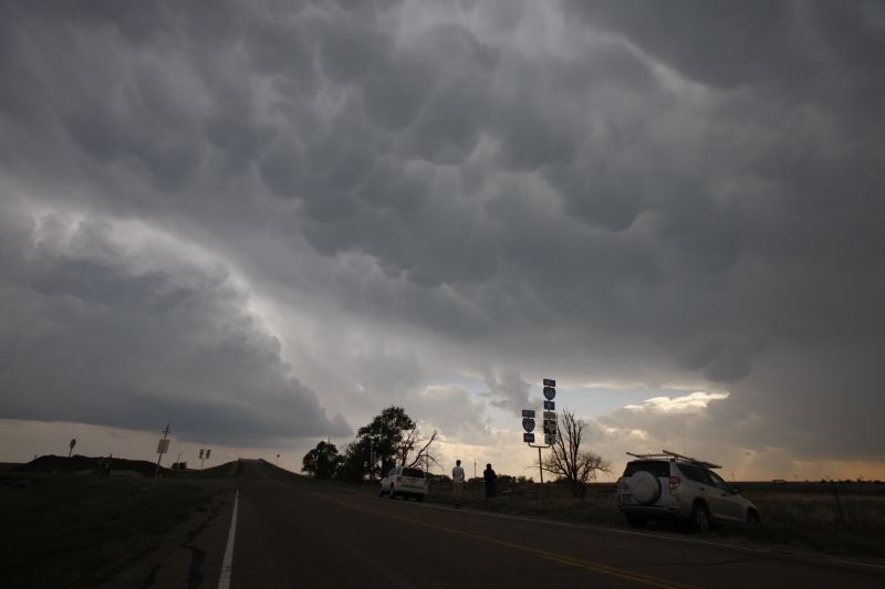
Mammatus clouds forming.
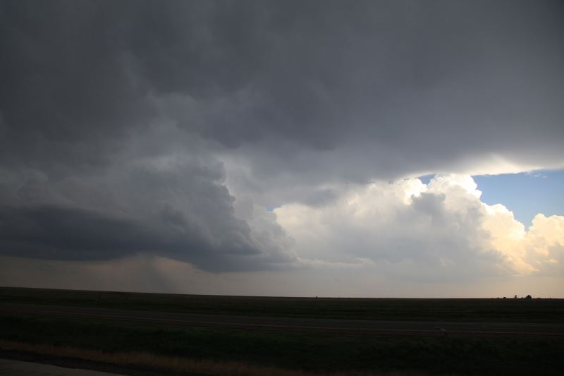
I'm able to watch two storm cells at the same time, both were amazing.
Decided to head towards the western most cell.
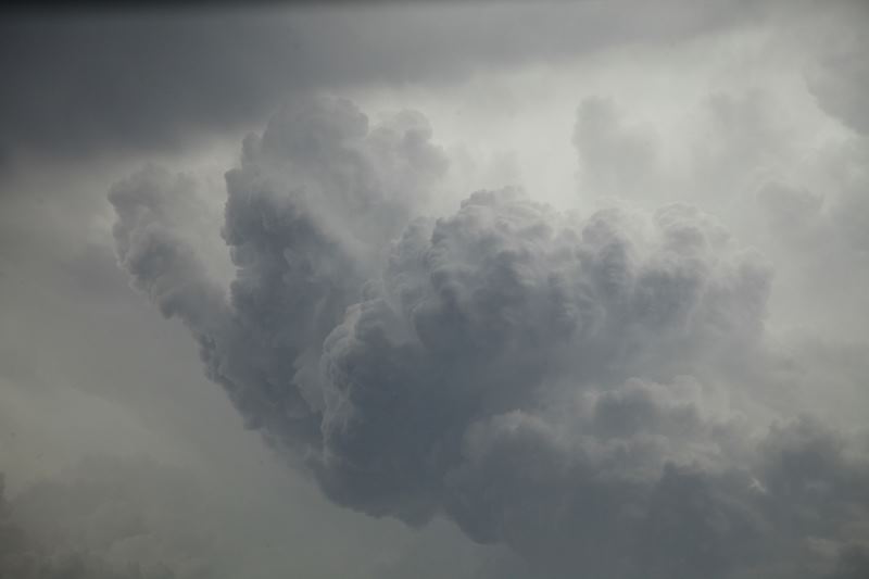
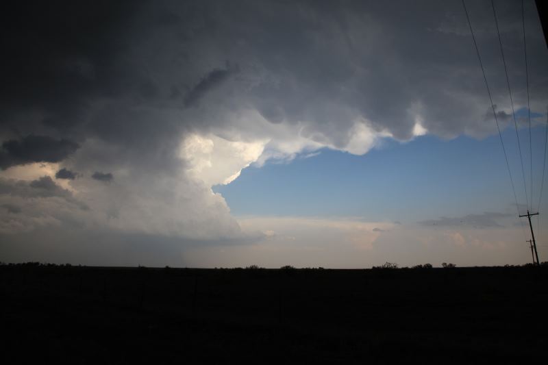
Amazing power in the updraft.
Hail is becoming a threat.
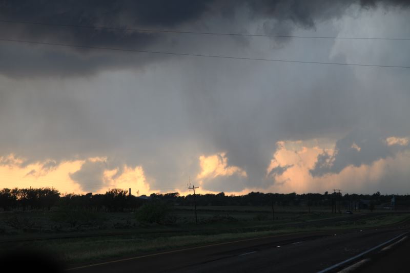
Great colours...
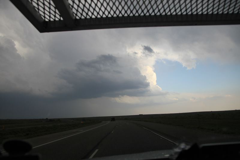
Keeping a look at the cell behind me.
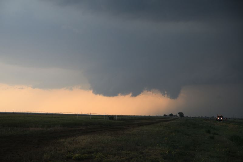
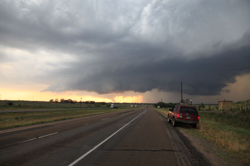
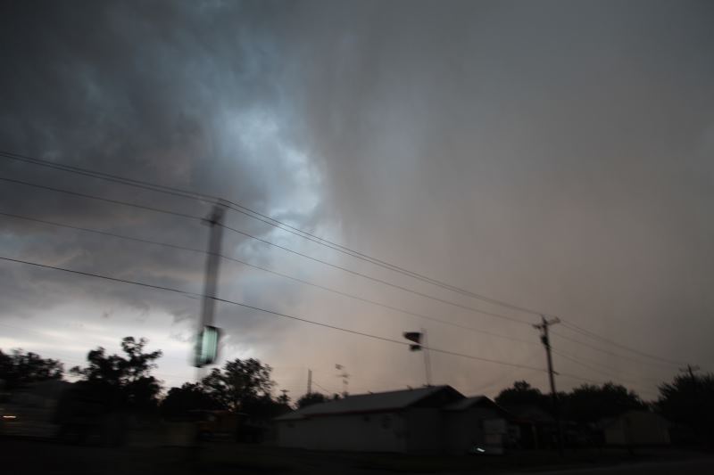
Wall cloud starting to form.
Wall cloud is formed. Tornado threat a real possibility.
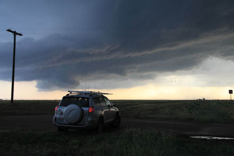
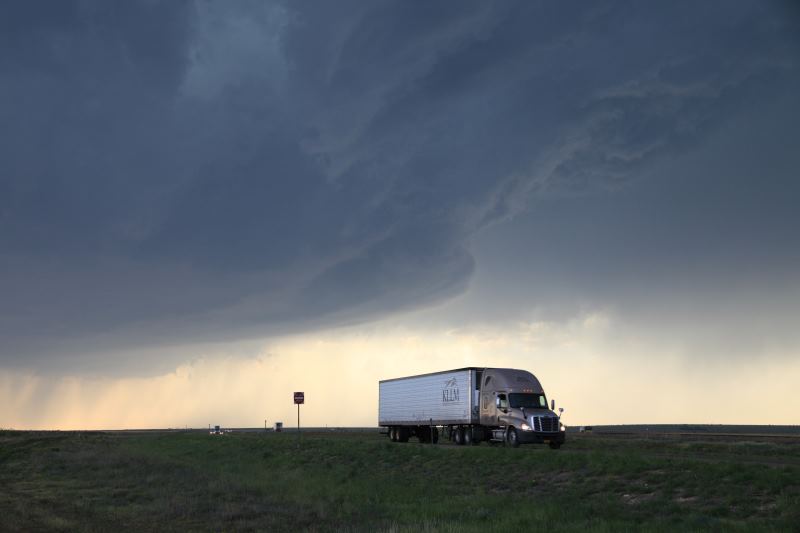
Great parking space to watch the storms.
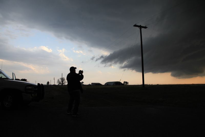
Another chaser taking a photo of the inflow tail.
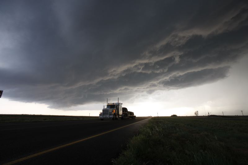
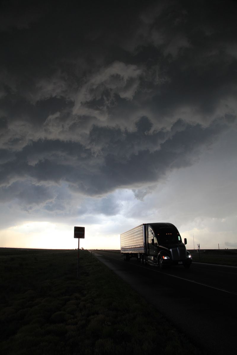
A truck escaping the storm core.
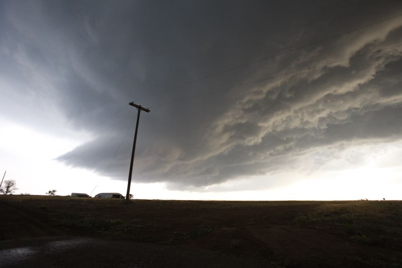
A wide shot of the updraft base.
Love this shot.
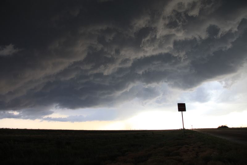
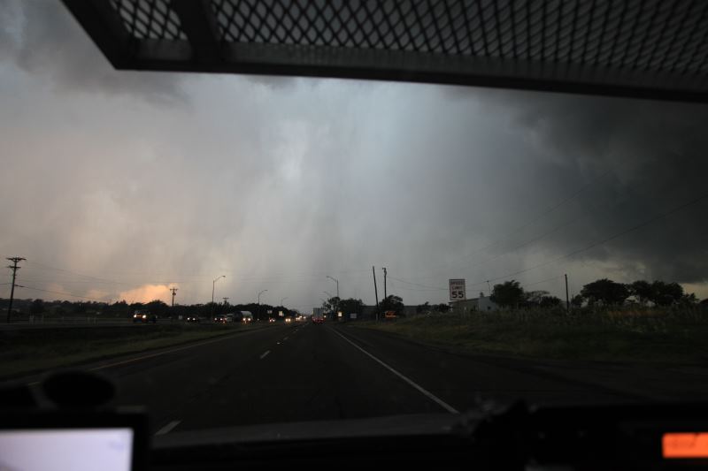
This sign actually says "do not enter", but it's too dark to see it.
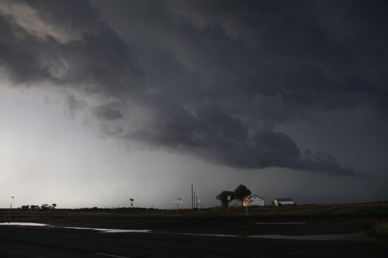
A lone house towered by a large storm.
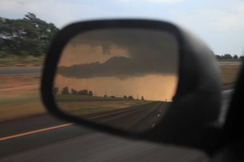
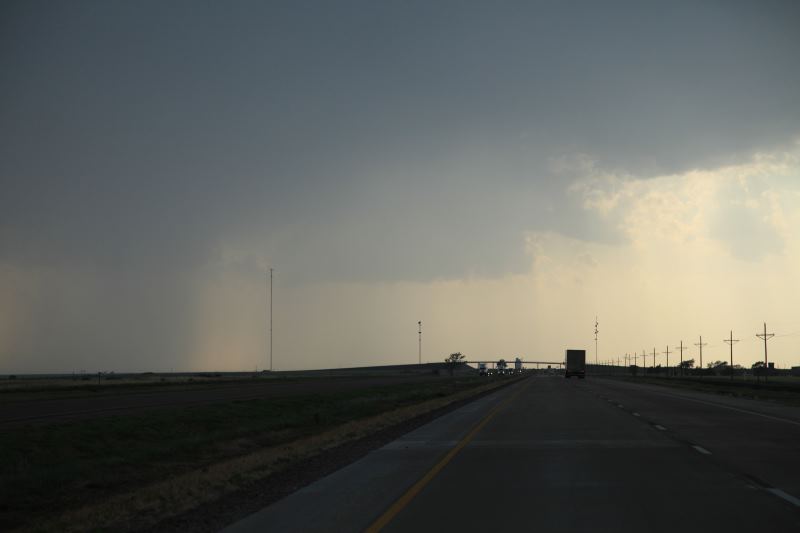
Looking back at the hail core.
Driving through a small town to re-position.
Looking back at that town..... this storm is headed right for it.
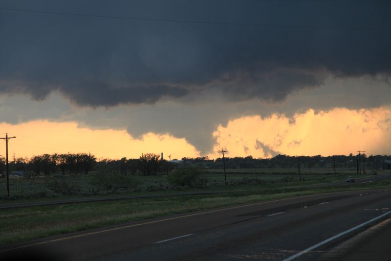
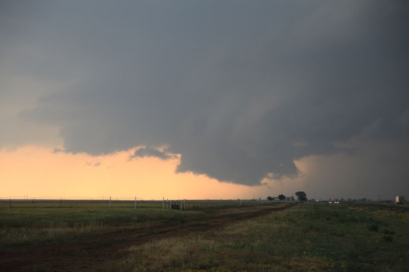
NOT a tornado. It is a rotating wall cloud however.
Multiple lowerings, again, all NOT tornadoes.
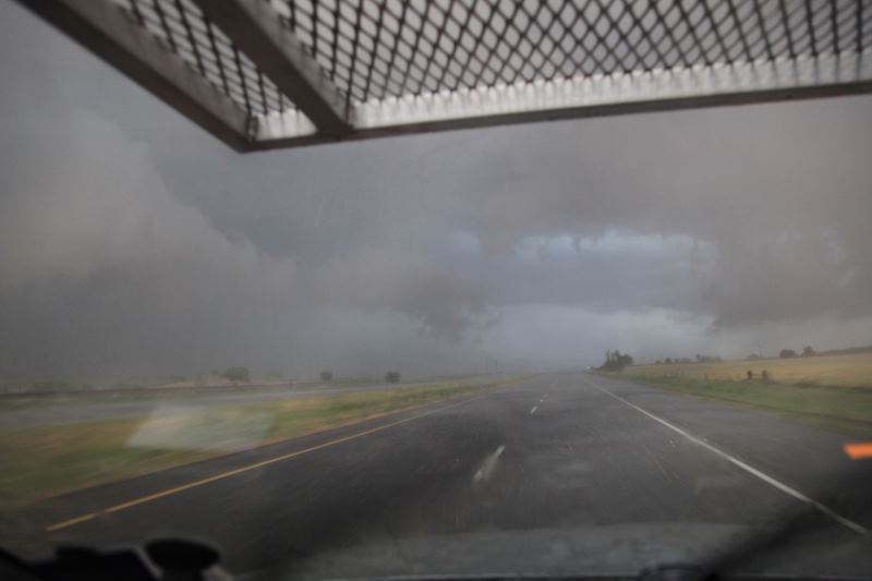
I decided to test out my hail guard.. Core punching time.
Almost in the core. (don't do this in a rental!!)
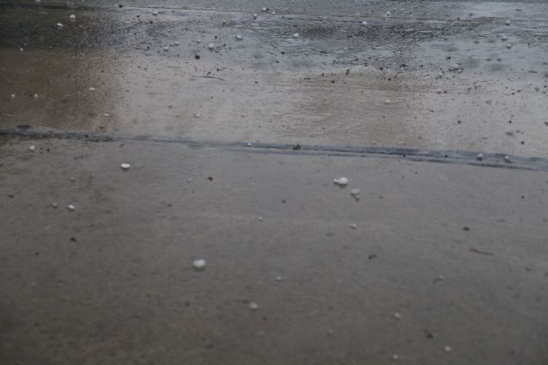
Hail.
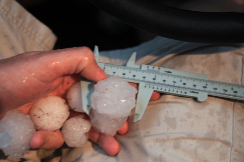
It's still small.. around 1.5", but there were a few 2.5" stones found by
another chaser about a 1/4 mile north of me.
Escaping the storm core.
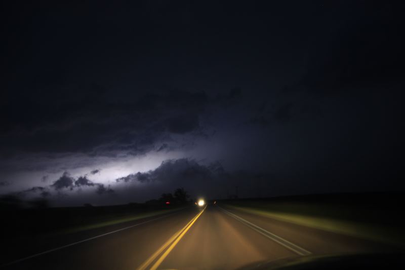
Heading north between two storms.
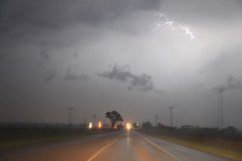
Very active lightning and heavy rain triggered a flash flood warning.
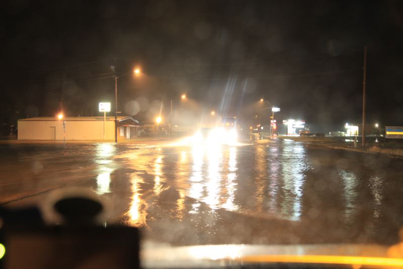
Flash flood warning was correct.
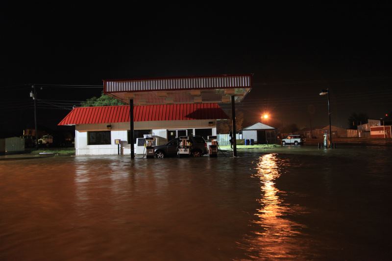
A building was flooded along with the roadway. I'm glad I had a 4WD, I would not
want to cross this otherwise.
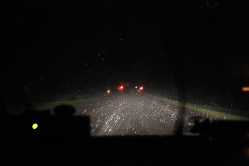
Heading to the hotel. Logged around 615 miles of driving today..